 This A-Z Visitors' Map of Hampshire,
Dorset and Wiltshire is a full colour,
single sided sheet map. Featuring continuous road mapping from
Oxford and Stroud to the south coast (including the Isle of
Wight), and from Newport and Lyme Regis to Chichester and
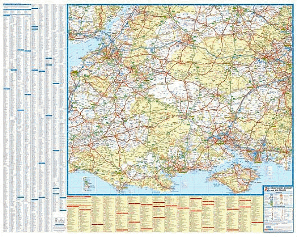
Maidenhead in the east. This A-Z Visitors' Map of Hampshire,
Dorset and Wiltshire is a full colour,
single sided sheet map. Featuring continuous road mapping from
Oxford and Stroud to the south coast (including the Isle of
Wight), and from Newport and Lyme Regis to Chichester and
Maidenhead in the east.Map detail is shown at a clear 2.75 miles to 1 inch (1.7 kms to 1 cm) and includes the following features:
|
||
| 2.8 miles to 1 inch | 2014 | £5.95 |
 |
 |
 |
 |